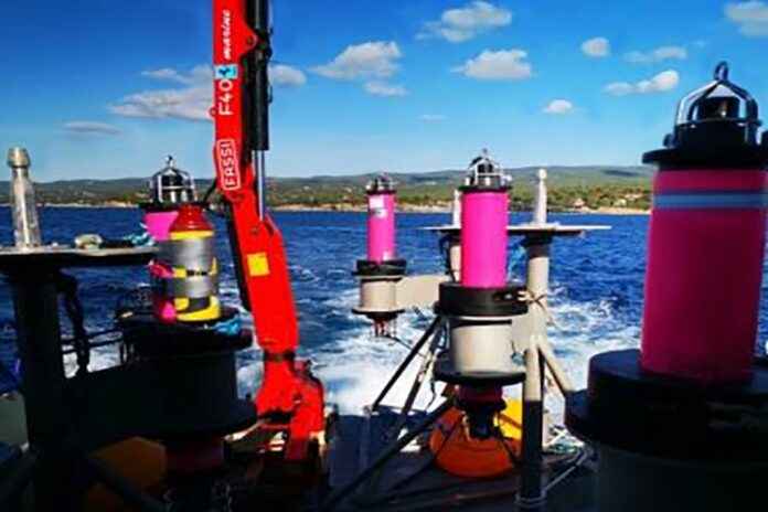
iXblue sparse LBL solution, brings together Canopus intelligent transponders, Ramses transceivers, Inertial Navigation Systems, and Delph Subsea Positioning Software, to provide more informative positioning and spool piece metrology at multiple drill centers throughout the project execution.
UTEC was the first company to operate iXblue new sparse range-aided INS subsea positioning technology on a commercial project in the Energy industry.
iXblue solution offers significant installation vessel time savings compared to conventional subsea positioning methods. Combined with a new innovative and cost-effective ROV Simultaneous Localisation And Mapping (SLAM) box-in method, it drastically reduced the time spent on calibration and maintenance during the operations.
iXblue new subsea positioning technology has already been selected for many other sparse LBL operations in both Africa and other regions.


