
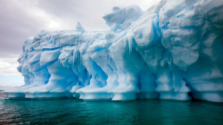
New research promises to enable more accurate ice-flow predictions, helping scientists better forecast how melting glaciers will contribute to rising sea levels, which have been linked to coastal and wetland flooding and destructive erosion around the world.
In a recent issue of Journal of Geophysical Research: Earth Surface, Harihar Rajaram and the team offer a new method of estimating how heat flows upwards from the Earth to beds of ice sheets in Greenland and Antarctica, affecting their viscosity and rates of movement.
Rajaram, a professor of environmental health and engineering at Johns Hopkins University, said:
“Mass ice loss from Greenland is the single largest contributor to sea level rise today, and Antarctica is projected to contribute significantly to sea level rise in the decades to come. The temperature of ice near the bed determines how fast it can flow. It is important that ice sheet models incorporate accurate bed conditions so that we make correct projections out to 2050 and 2100. Our method is a big step in the right direction.”
Rajaram worked on the study with experts from the Geological Survey of Denmark and Greenland, NASA, University of Maryland, University of California, and University of Alaska.
The team’s method is groundbreaking, Rajaram says, because it provides high-resolution estimates of variations in heat flow across a scale of hundreds of meters, accounting for the complex bed topography and geological features—such as valleys and ridges—underneath the massive ice sheets. Though it has long been understood that heat flow is greater in valleys, and is lesser on ridges, this was the first time a model has taken these factors into account.
The researchers created a simple statistical model to estimate influence of glacier bed topography on geothermal heat flow and applied it to digital elevation models of the sub-glacial topography beneath the Greenland and Antarctic ice sheets. The result? A far more detailed geothermal heat flow map than what has been offered before.
Rajaram said:
“We discovered that heat flow in central East Greenland and the Antarctic Peninsula is halved along ridges and doubled within glacier valleys.”
William Colgan, a senior researcher at the Geological Survey of Denmark and Greenland, and lead author of the study, explains the phenomenon.
Colgan said:
“Basically, if the heat escaping Earth’s interior is looking for the quickest way to radiate into the atmosphere, a deeply incised valley provides the fastest exit. This effect is readily observable from the fact that geotherms—surfaces of constant temperature—are packed more closely together beneath valleys, indicating a stronger temperature gradient there, and hence heat flow, in comparison to ridges.”
The researchers hope their method and results not only will be adopted into present-day ice-flow models to improve ice-flow predictions, but also will be used to estimate the influence of topography on geothermal heat flux in non-ice covered areas.

