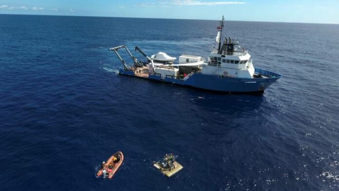
Bibby HydroMap are delighted to announce that the company will be providing survey support to Nekton Deep Ocean Research Institute for their Seychelles Expedition in March 2019. Having understood the vision of the assignment, Bibby HydroMap were keen to be part of this extraordinary project and to offer our support and be involved with others who work in the marine conservation.
Our work environment, seas and oceans, are exciting places to be explored and just maybe such explorations could not only help find many unsolved mysteries but also possible opportunities to help marine conservation and preservation. By supporting marine exploration and advancing the academic nature of our work it can also provide our staff with essential skills and knowledge.
Bibby HydroMap are happy to be providing a Hydrographic Surveyor, in a specialist capacity, to take part in this amazing scientific discovery opportunity to help make a difference, specifically undertaking bathymetric surveys during the expedition. Seabed mapping will play an important part as the data collected will assist with planning visual surveys to determine the heterogeneity of the sites and enable Nekton to ground -truth assumption made for Seychelles marine spatial planning.
The purpose of the expedition is to explore Seychelles' deep waters to study ocean health and marine biodiversity. The Seychelles covers an exclusive economic zone of 1.4 million square kilometres. The expedition is expected to be carried out in specific areas within the plateaus of designated outer islands with depths of 500 metres.
The Mission:
- Starting in March 2019 it will continue for 7 weeks
- 50 descents are planned
- 13 scientists on board
- Visual surveys will be carried out by two pioneering submersibles (maximum depth 300 metres) and one high tech ROV (maximum depth 500 metres)
- 2.5 billion people live in the countries surrounding the Indian Ocean and are dependent on the health of the ocean for food and water
- The last depth surveys around parts of Aldabra were carried out by lead line in the 1870s
- These waters have only been seen to scuba depth of 30 metres


